Web design · Mapping & data visualisation
AIRELet scenarios speak to each other.
An interactive urban atlas with an original map, six districts and scenarios you can compare, adjust and export.
Explore the websiteInteractive website in French · opens in a new tab
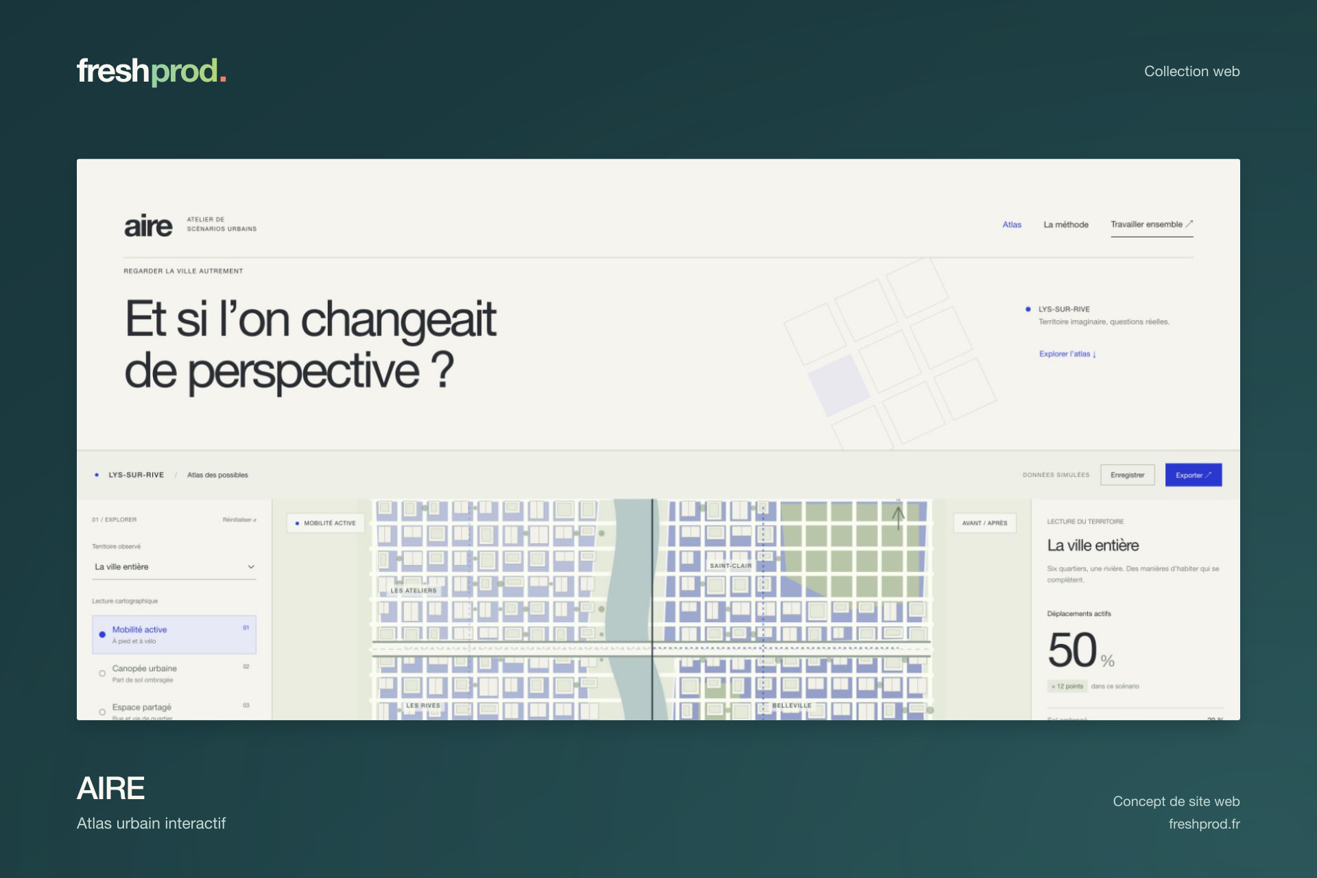
Design, development and interactive experience by Freshprod.
Art direction
One world.
One intention.
A map drawn for the project, mineral tones and precise editorial panels. Colour and visual hierarchy connect the map to its indicators.
Explore
Design
is made to be tried.
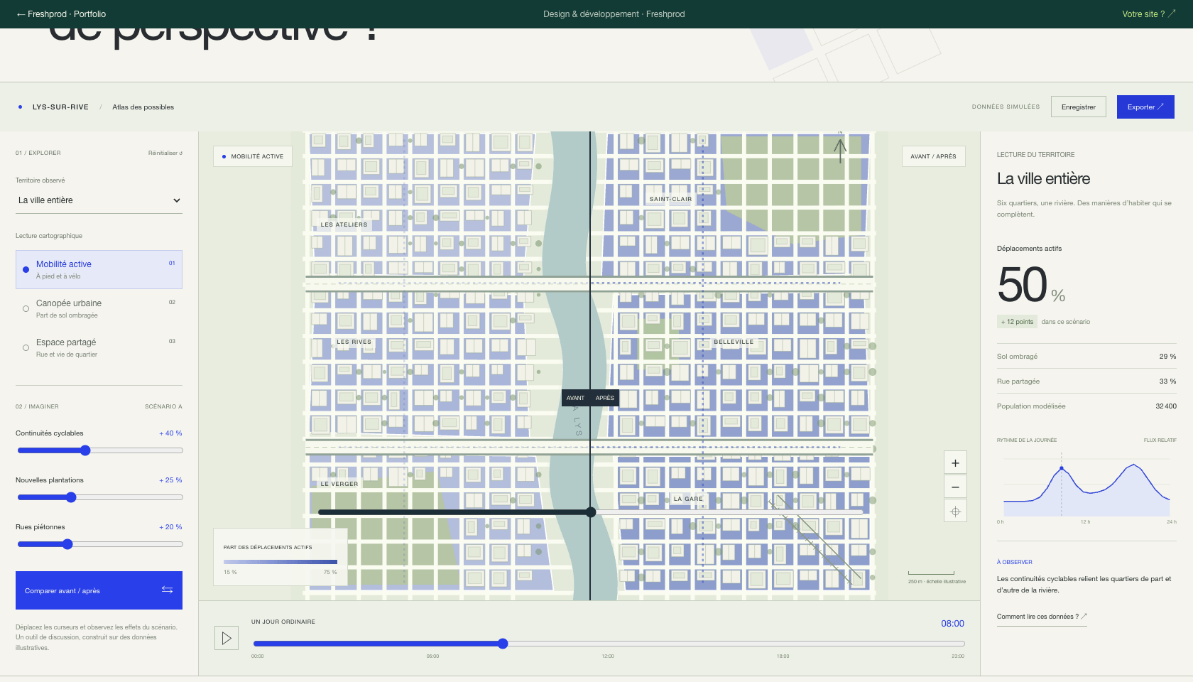
Select a district, switch layers and adjust the interventions. Compare before and after, explore the day, then export all six districts’ indicators as CSV.
Six districtsThree map layersScenario slidersBefore / after comparisonTime explorationCSV export
Behind the interface
The technologies behind the experience.
HTMLCSSJavaScriptSVGScenario model
What about your website?
Your business.
Its next playground.
Let’s build a website that feels like you, designed around your visitors and enquiries.